


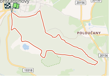

5.3 km | 6.9 km-effort

Tous les sentiers balisés d’Europe GUIDE+


FREE GPS app for hiking
 SityTrail
IGN / Geographical institutes
SityTrail World
The world is yours!
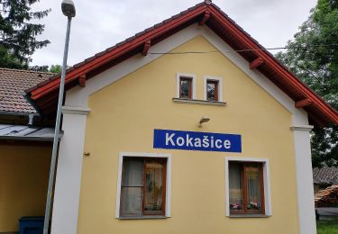
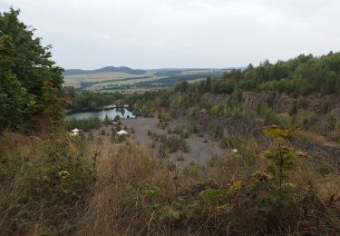
Trail On foot of 5.1 km to be discovered at Southwest, Plzeňský kraj, Konstantinovy Lázně. This trail is proposed by SityTrail - itinéraires balisés pédestres.
Trail created by cz:KČT.
i když jde o naučnou stezku je značena klasickou značkou : pruhy bílá-zelená-bílá


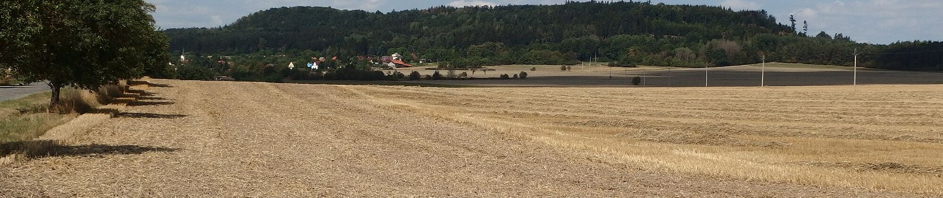
On foot
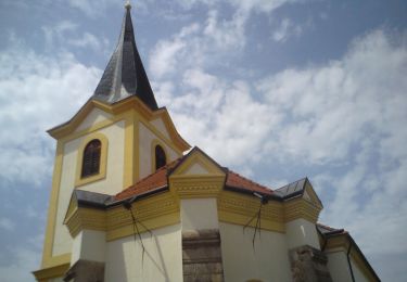
On foot
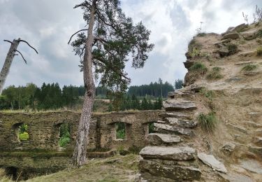
![Trail On foot Bezdružice - [M] Bezdružice - Nezdický potok - Photo](https://media.geolcdn.com/t/375/260/99283623-6ece-47c8-b538-fc6145a60aa3.jpeg&format=jpg&maxdim=2)
On foot
On foot
On foot
On foot